|
MONTACUTE |
||
|
MONTACUTE
|
|
|
|
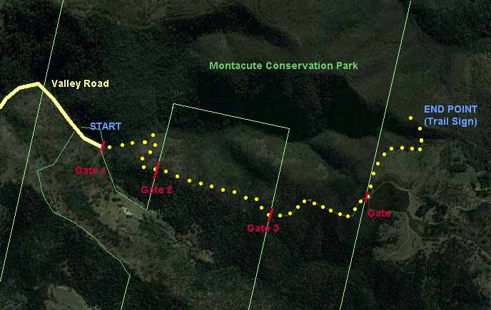
I had some reservations about tackling the Montacute Conservation Park. It is rather isolated and little known by the general public. Furthermore, maps of the Park seem to be non-existent, and even the Google Maps are not very helpful until you have actually walked the trail! Finally, those who walk this section of the Heysen Trail are warned about taking side tracks and getting lost. In fact this is not a problem, at least within the Park. While there are two or three minor side trails, the way ahead is always clear, and confirmed by Heysen Trail markers. Corkscrew Road runs between Gorge Road and Montacute Road, and Valley Road branches off Corkscrew Road. We follow narrow, winding Valley Road to its end.
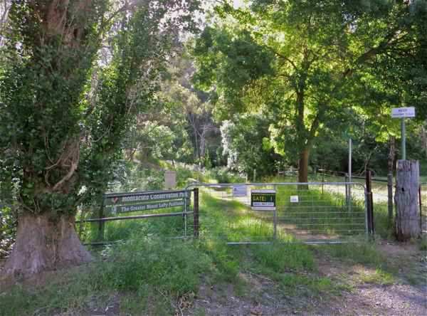
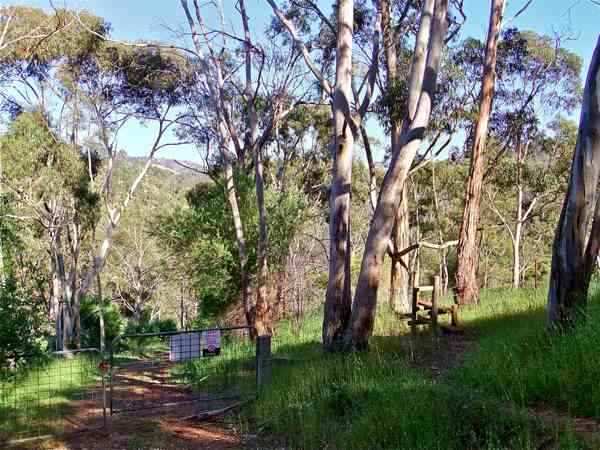
There is a small parking area near Gate 1, the entry into the Park.
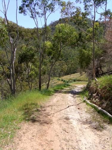
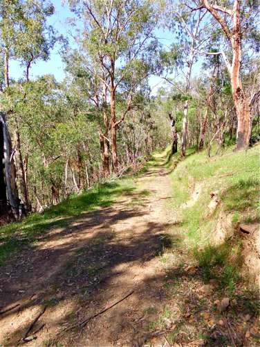
The trail follows up the valley before turning right and climbing to the ridge.
The climb is steep, very steep: a sign of things to come!
l am surprised to come to a gate across the trail. The gate is locked, but there is a stile. Looking back at the map, we see why the gate is here: we are actually leaving the Park.
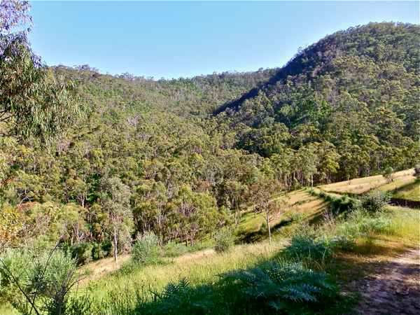
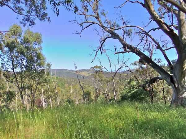
More climbing. I sit down for one of my forced rests, and contemplate the distant ranges. It takes me about 35 minutes and 1 kilometre to reach the first ‘summit’. After this the track dips for 50 metres before resuming the climb.
The third gate, and we re-enter the Park over the stile. I think this is the hardest walk I have undertaken in the Adelaide Hills – it is a relentless climb. By my fifth forced rest, I am starting to wonder if I'm getting too old for this caper!
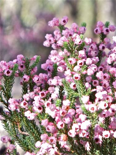
I see very few birds, but there are some flowers nearer the top of the Park, like this pretty pink shrub ...
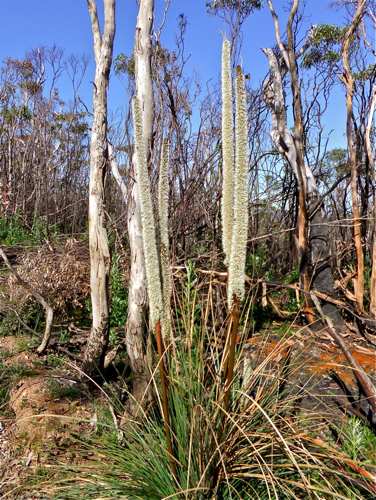
... and the wonderful sight of this native grass tree in flower.
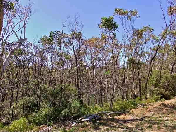
The top of this Park has been ravaged by fire, but the gums have an amazing way of regenerating.
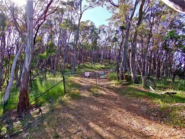
After an hour's solid climbing, I am glad to reach the exit gate out of the Park. I’m not impressed that the hills are even higher beyond!
Looking back at the gate, notice the red and white Heysen Trail sign at right, and the badly burnt Park sign just beyond.
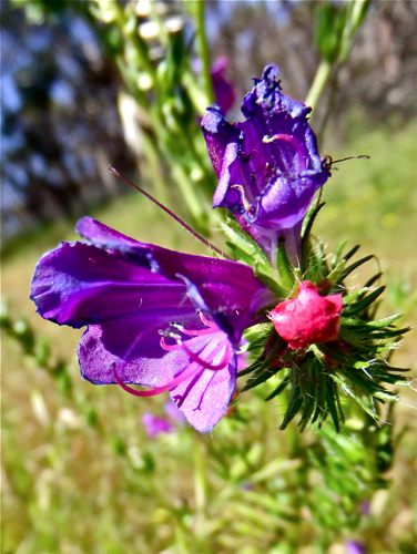
We turn sharp left beyond the gate and follow the marked Heysen trail down along the boundary. This pretty flower is known as Patterson's curse by farmers, but Salvation Jane sounds nicer.
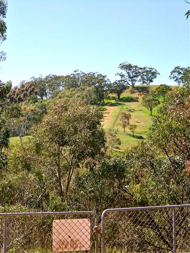
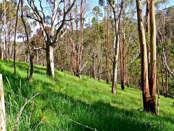
The scenery is prettier down in this valley: the stream at the bottom feeds into the Kangaroo Creek Dam.
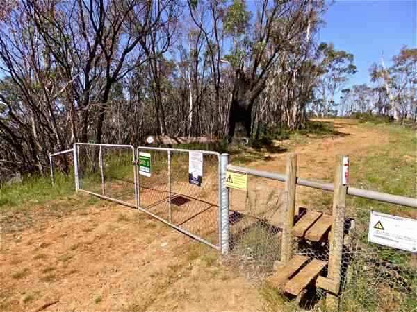
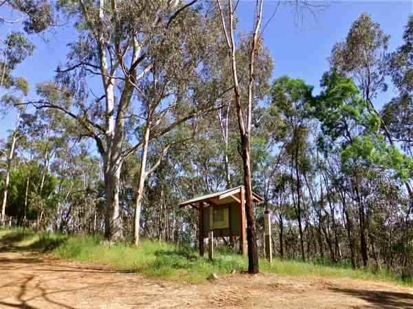
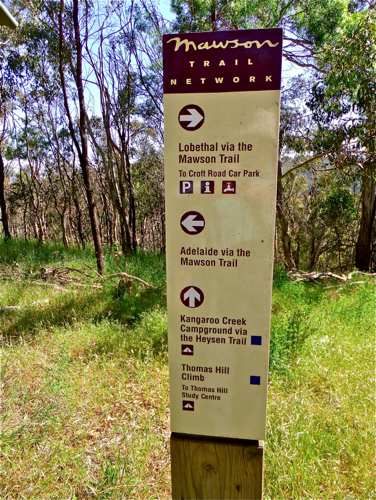
Finally we reach this sign structure, which seems a fitting place to end our exploration.
The track branches here, with the Heysen Trail entering by the Cudlee Creek Native Forest Reserve.
The Mawson Trail intersects here as well.
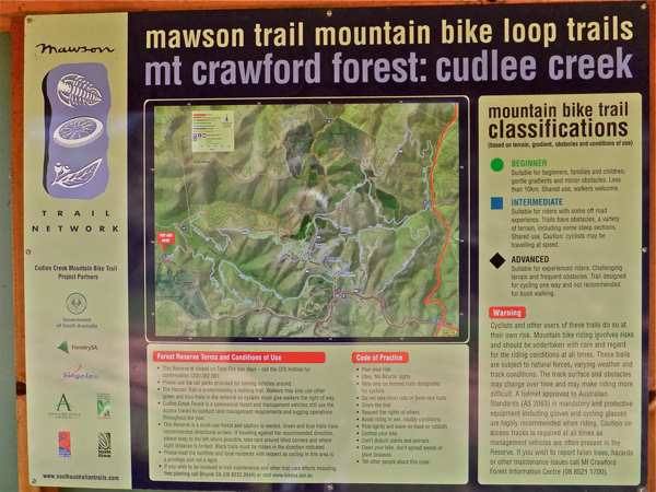
Fortunately there is plenty of explanation about the different ways of continuing.
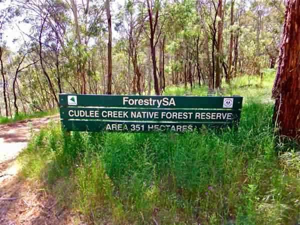
This is not a particularly helpful photograph, but I am just amazed at the walking possibilities which lie beyond this sign! Not that they would be reached via the Montacute Park; rather by driving around some of the back Hills roads – particularly Croft Road, and Fox Creek Road.
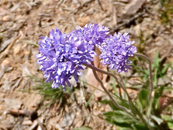
After a little break, it is time to retrace our steps. There is a short uphill stretch to the Park gate, where we find this lovely blue pincushion flower.
I rejoice in the steady downhill incline. It takes me just an hour to make the return trip.
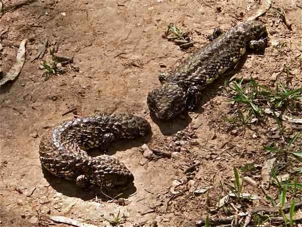
Now here’s a wonderful bonus: these two stumpy tail lizards on the track. I hope I didn't interrupt something!!
I'm pleased to have discovered the Montacute Conservation Park, but it is not a walk I particularly want to tackle again!
|
||
|
MONTACUTE
|
|
|