|
DAY 4 : WEDNESDAY : NORTH-WEST
AND EAST |
||
|
A grey morning. There was some rain overnight and a little thunder. However, blue sky is appearing so we may be in luck. A big breakfast with some new options - sweet and sour pork with rice - I don't think so! It turns out to be an excellent day.
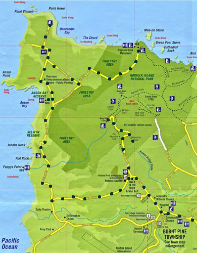
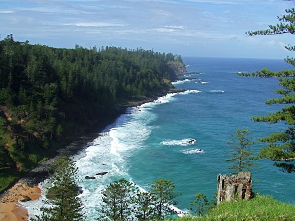
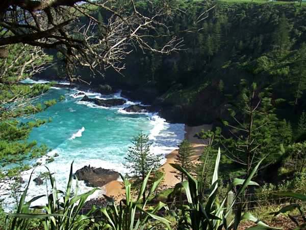
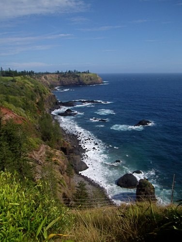
We drive to Anson Bay in the North-West of the island, a beautiful spot with steep cliffs, pines and white capped waves pounding in.
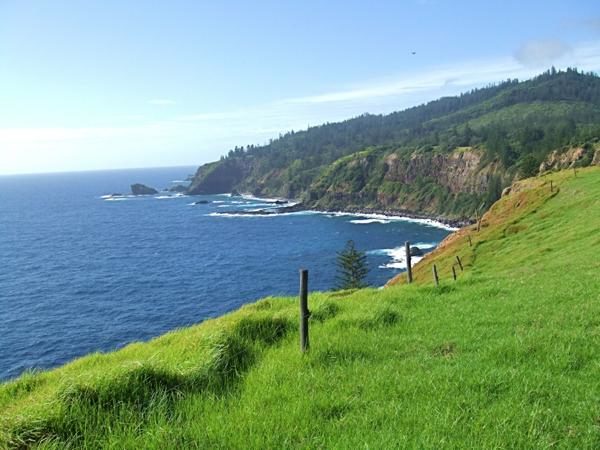
Then up to Point Howe for an eastern view along the north coast,
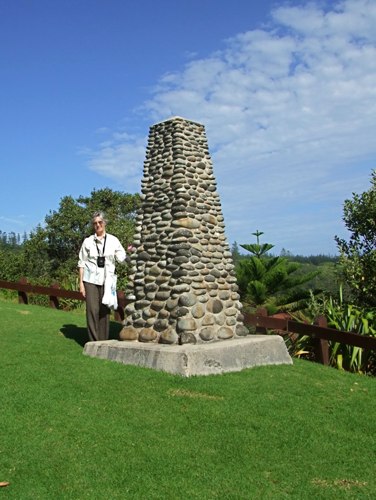
and so to the Captain Cook Monument.
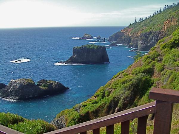
Cook discovered and named the island in 1774, five years after he discovered NZ. This area has the most dramatic island scenery with steep cliffs and this view back to Point Howe ...
... and various rocky islets close to shore: Green Pool Stone (foreground), vertical sided Cathedral Rock,
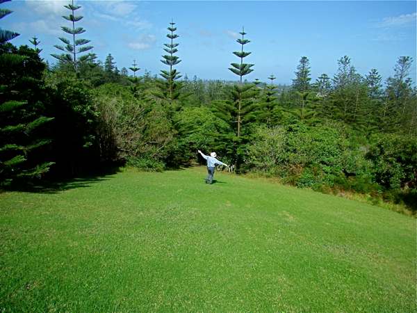
Elephant Rock (in the distance) with a space between body and trunk, and the sanctuary Bird Rock (far left). This area lies in the Norfolk Island National Park, and there are various walks for the energetic. We leave the Park and retracing our path, drive around it to the south, entering again up the Mount Pitt road, and driving to the lookout at around 300 metres altitude. You get an almost 360° view of the island.
This hill is too good not to run down!
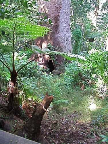
Coming back down the road we stop to view the Hollow Pine ...
... a very large dead Norfolk Island pine in which an escaped convict supposedly lived for seven years before he was recaptured. Lunch at Burnt Pine – where did it get its name? I finally discover that there was actually a burnt pine there in the olden days which became quite a landmark. There is more history here: a sculpture of The Bounty which brought the Pitcairn Islanders to Norfolk Island in 1856. Prior to 8 June 1856, Norfolk Island had been a penal colony, but was granted to the Pitcairners as a home by Queen Victoria in that year.
Unfortunately Burnt Pine is largely closed for business on Wednesdays(!). In the afternoon we decide to explore the east of the island.
Driving east of The Lodge we come to some delightful Clydesdales (twelve legs?!).
Then across to Ball Bay, a horseshoe shaped pebble beach,
and then to Point Blackbourne Reserve, an isolated point with pounding surf, and of course ocean as far as the eye can see. Finally to Simon's Water – a private property but with public access. We walk across a densely populated (poopulated?) cow paddock to the cliff coastline with an attractive little island.
I figure we have now driven some 80% of the main Norfolk Island roads, although there are many other roads which you hardly notice, or which appear to be private lanes. We have been reflecting on different holiday styles and how some people jump in and do every tour, but we really love exploring all these little roads and discovering the points of interest along the way. Back to Burnt Pine for some supplies, then home for a nap. Tea consists of soup, apple tart, tasty freshly picked banana, and a Snickers bar! We are getting good use out of a pack of Norfolk Island playing cards we purchased. Marg had tossed in a pack of cards when we left, but it turned out to be a random subset of our two pack set, and quite useless! |
||
|
|
|
