|
LORD HOWE ISLAND
Mount Eliza / Kim’s Lookout |
|
|
Return distance : 6 km; Time : 3 hours Here is a Google photograph of the northern part of Lord Howe Island with this walk in yellow. About 6 km altogether, definitely not flat and definitely not in straight lines!!
We start by walking the length of Old Settlement Beach. There is an alternative track just above the dunes. There is no visible sign of the original old settlement; it was located at the far end of the beach. Kim's Lookout is the bump in the middle.
At the end of the beach, a boardwalk leads up to the beginning of the track.
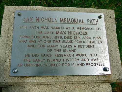
This is the man to blame for this track!
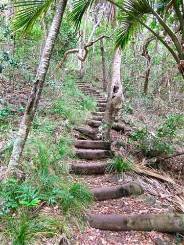
And here we go, a steady climb upwards for 700 metres ...
At the top of the ridge there is a branching track; we continue straight ahead.
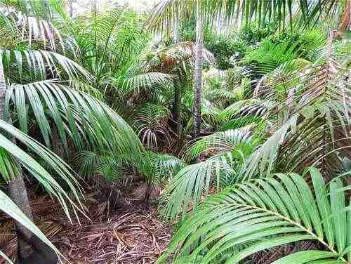
The track starts nicely enough through the subtropical forest, but soon descends steeply ...
... down to North Bay, which is a sanctuary zone.
It poured with rain when I was here, but fortunately I had just reached a picnic shelter shed. The rain cleared, so I continued up towards the Mount Eliza summit. We see North Bay at bottom left, Mount Lidgbird in the distance. I was hoping that this storm was tracking away!
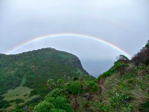
There are some plusses about walking in the rain. Now where is that pot of gold?
It must be up here ...
There is time to smell the flowers along the way.
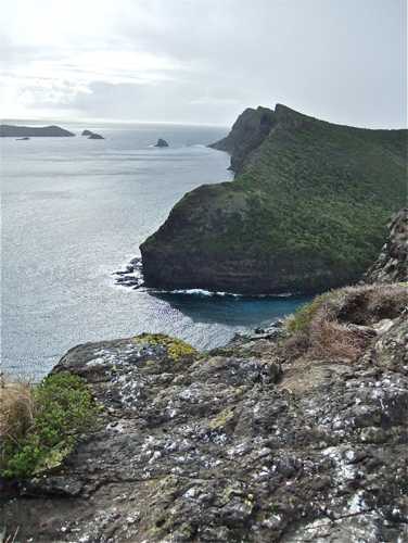
The Mount Eliza summit is closed over summer to help the nesting sooty terns, but the birds had flown by mid March. There are various signs warning walkers to stay away from the cliff edges. The views are spectacular: this one west.
This is looking east: the Admiralty Islands are to the left, Kim's Lookout the closest peak, and Malabar Hill in the distance.
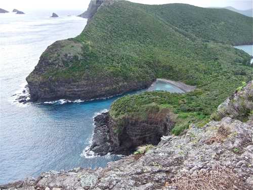
And Old Gulch, looking down with care ...
More flowers on the way down; the rain hadn't quite stopped.
Reaching the level again, there is a 200 m short easy branch track through to Old Gulch. Now, where is it?
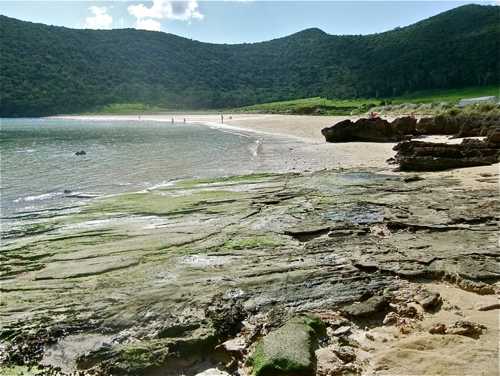
I felt Old Gulch was hardly worth a visit, although around to the right at low tide there are supposed to be 'herring pools'.
The return track passes signs of the island's violent past.
There are always great opportunities for photographs: the rain had brightened this lichen growth.
So, back to the intersection on the ridge, and a 500m detour up to Kim's Lookout – more steps. There are wonderful views from the top, here south over Old Settlement Beach.
And west to Mount Eliza ...
And northeast over the Admiralty Islands. The large island is called Roach Island.
The track continues on along the ridge here, but I opted for an easier return down to Old Settlement Beach and back to the start. I discovered first hand that the wooden steps are treacherous when wet. This is a wonderful island for walking.
|
||
|
|
||