|
BELAIR : LONG GULLY / WARRI PARRI TRACK Time : 1 hour 15 minutes, Distance : 4.5 km |
||||
|
LONG GULLY
|
||||
|
|
|
|||
|
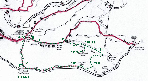
• 1 We drive along Sturt Road to Gate 21 on the southern boundary – the Tom Roberts Trail entrance.
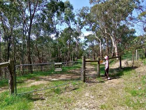
• 2 It looks like a good idea on the map. What the map doesn’t say is that Tom Roberts was trying to emulate the downhill dash of the man from Snowy River! Quite a steep descent.
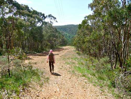
• 3 The track flattens out at the bottom and earns itself a name: the Kaloola Track.
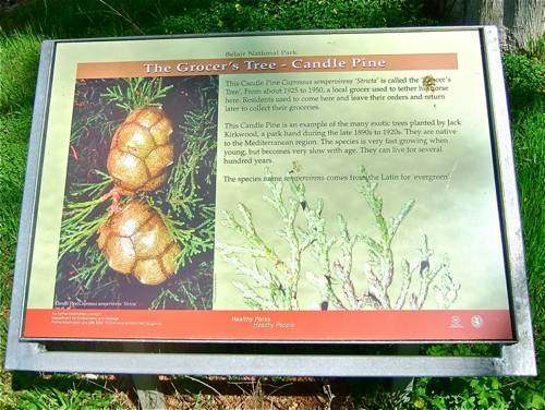
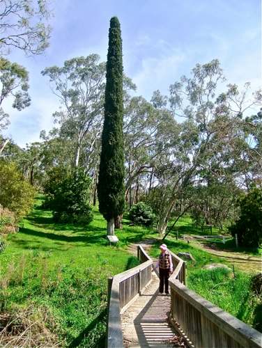
• 4 Nearby is an interesting piece of history : a candle pine used by a local grocer to tether his horse.
• 5 It is definitely a tree with some character.
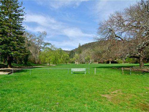
• 6 Long Gully is a well known picnic place, and we are interested to revisit the scene of many church picnics from long ago.
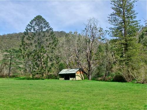
• 7 There is an old shed too which has been there forever, so I'm told.
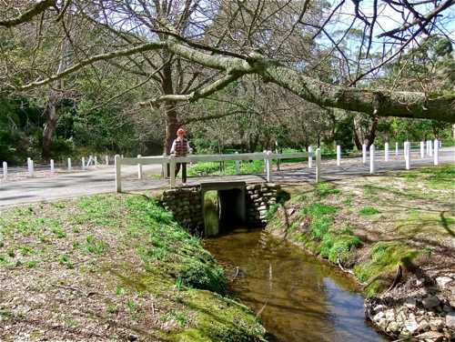
• 8 Approaching the Karka Pavillion we cross a little stream. From my point of view, this section of the Park is too developed to be very interesting!
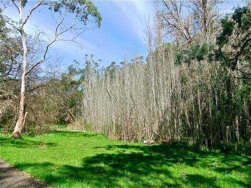
• 9 Beyond the Pavillion we follow the Melville Gully Road – a Park service road closed to public traffic. This stand of poplars looks dead, but signs of life are already appearing.
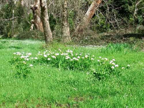
• 10 Consider the lilies of the field – in fact, the swamp as we discovered.
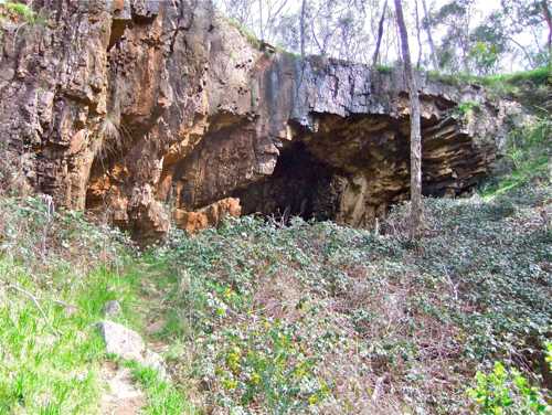
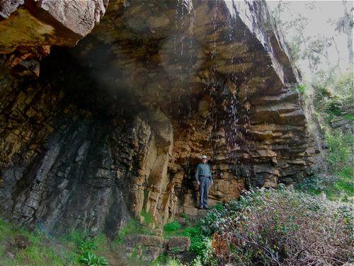
• 11 Aha! A special feature!
• 12 And quite impressive too, just a short distance from the road.
• 13 One can walk behind the small waterfall.
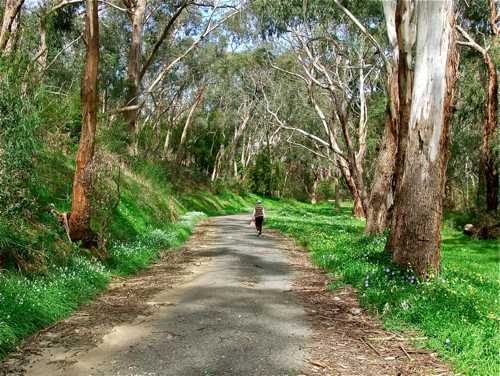
•14 Back on the Valley Road the scene is quite delightful with lots of spring flowers. Melville House can just be seen through the trees. This road is less travelled ... .
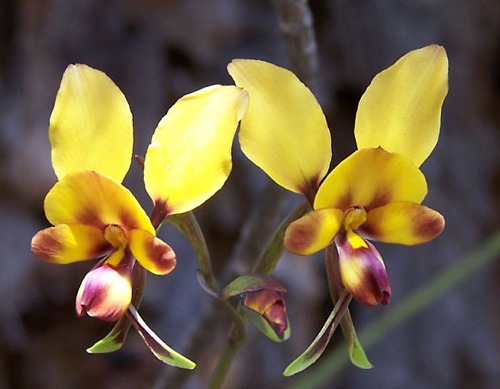
• 15 The road now doubles back on itself and there is a steady climb back up to the Sturt Road. We find lots of donkey orchids (‘asses ears’), but they are very easy to miss.
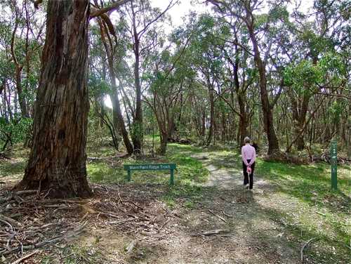
• 16 Reaching the road, we walk back along the Warri Parri Ridge Track, an easy walk which follows the southern boundary of the Park.
So back to our starting point.
|
||||
|
LONG GULLY
|
||||
|
|
|
|
||