|
BELAIR : WATERFALLS WALK Time : 2 hours 15 minutes, Distance : 8 km |
||||
|
WATERFALLS
|
||||
|
|
||||
|
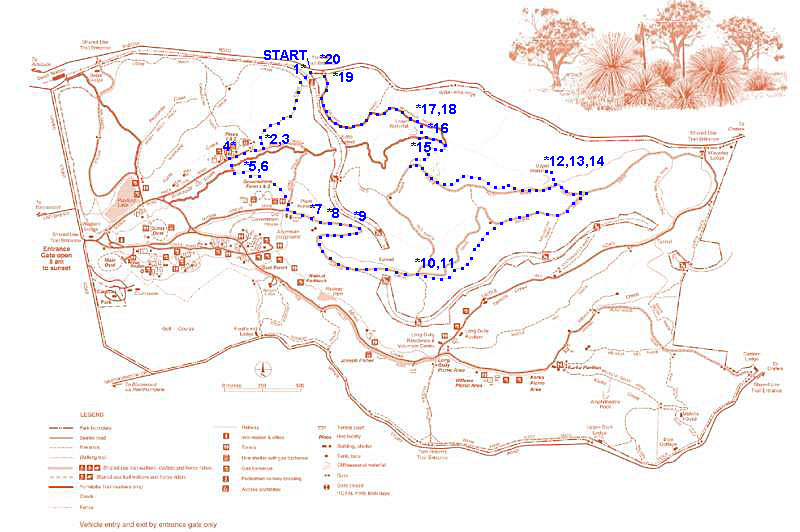
• 1 We drive to Sheoak Road on the northern boundary of the Park, just east of where Pony Ridge Road meets Sheoak Road. We enter through the gate here and cross the railway line.
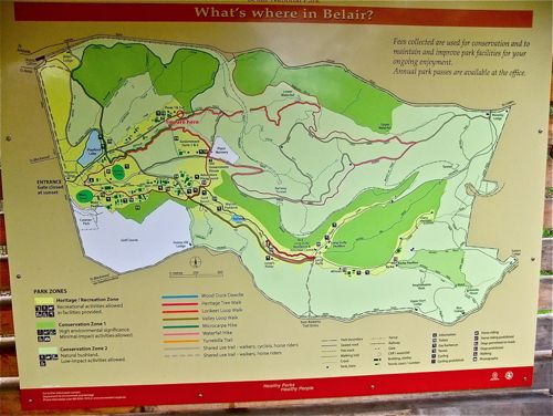
• 2 A little way down the track we find a very nice sign with a more detailed plan of the Park. There are a number of coloured walks mapped out. What a pity they are not listed on the printed map! (In contrast to the Morialta Falls Park map.) In light of the recent wet conditions, we decide to do the Waterfalls Walk.
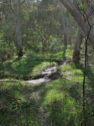
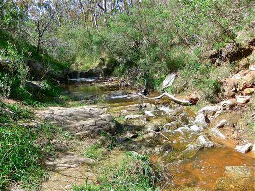
• 3 Continuing gently down, we find a number of little streams which would not normally be there.
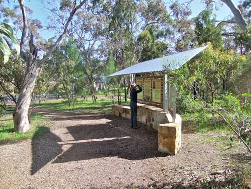
• 4 Then we come to this shelter which acts as a starting point for three of the listed walks.
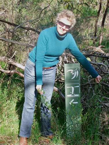
• 5 There is signage: we will follow left for the waterfalls walk.
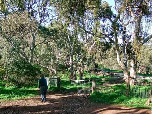
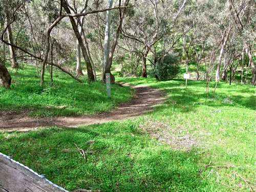
• 6 A very pretty start ...
• 7 The track soon follows past the Park nursery where they grow native plants for planting out.
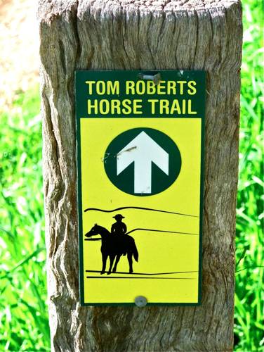
• 8 Our route follows along the Tom Roberts horse trail. Tom Roberts was a Victorian painter, so it is unclear just how this trail gets its name. The trail extends for some 20 kilometres and finishes in the Kuitpo Forest.
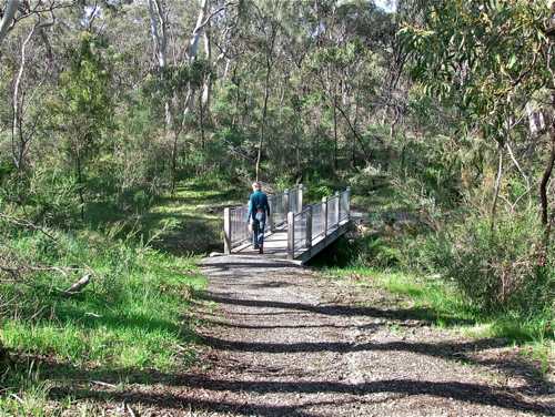
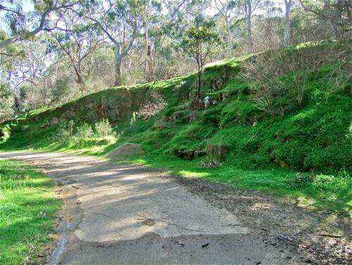
• 9 At a bend in the trail, the path is separated from the railway line by this embankment. Such landscape features are few and far between today.
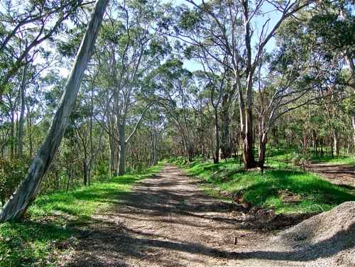
• 10 This is more representative of today's scenery. We follow the walking track at right – steeper but shorter!
• 11 Well, it is a ‘falls’ trail, but this is taking it a bit far! Not helpful ...
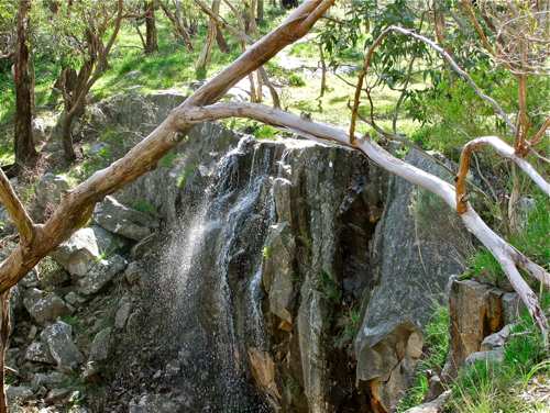
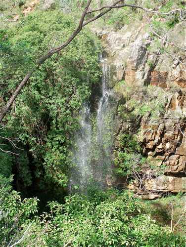
• 12 After a steady climb we take a sharp left turn back which brings us to the Upper Fall.
• 13 Not a great deal of water, but a pleasant place.
•14
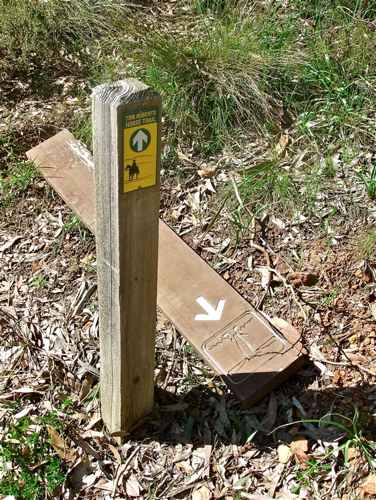
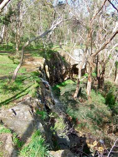
• 15 Leaving the Upper Fall we take a rather sodden walking trail, after a time reaching another ‘waterfall walk’ sign, and this ‘fall’ sign! There seem to be a number of unmarked trails in this Park, and it is not always clear which way to go. I find I am relying on ‘a general sense of direction’ some of the time.
• 16 Reaching the stream, we can hear the falling water, but can’t really see it, so we cross the stream above the fall.
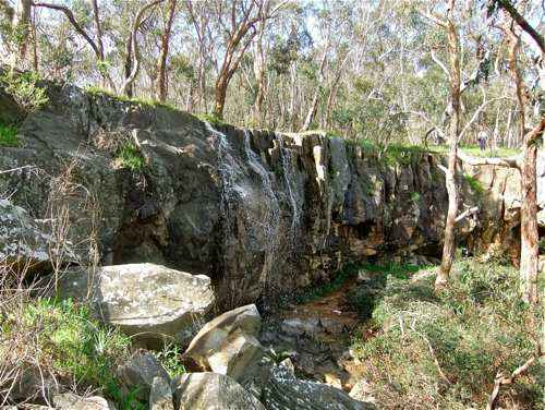
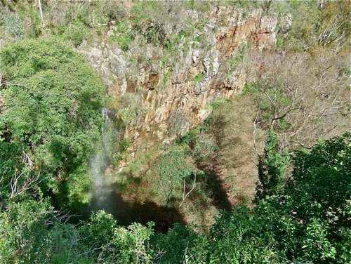
• 17 A little further up the track we get this great view: a colourful red rock wall, with the water dropping into a void. I am really taken with this sight: it is so unexpected in these rather featureless surroundings.
• 18 Of course it looks best when there is actually water falling over!
• 19 We soon reach the Yurrebilla Trail, and head back up to Sheoak Road.
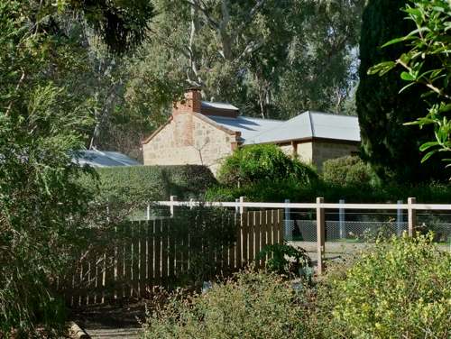
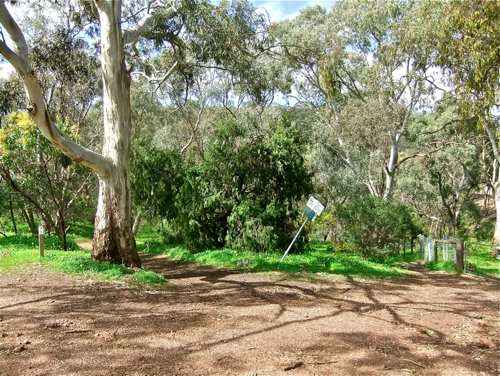
• 20 And here we are back at the car. The Yurrebilla Trail lies just to the right of the gum; our original route is through the gate at right.
A good walk with some interesting finds.
|
||||
|
WATERFALLS
|
||||
|
|
|
|||