|
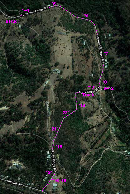
BROWNHILL : PONY RIDGE TRAIL Time : 1 hour 20 minutes; Distance : 6 km |
||||||
|
PONY RIDGE
|
||||||
|
Hurrah! A fine morning at last! and time to explore the Pony Ridge Trail, above the Brown Hill Creek Reserve.
• 1 We park by the road at the top end of the Brownhill Creek Reserve where the Yurrebilla Trail exits after crossing the creek.
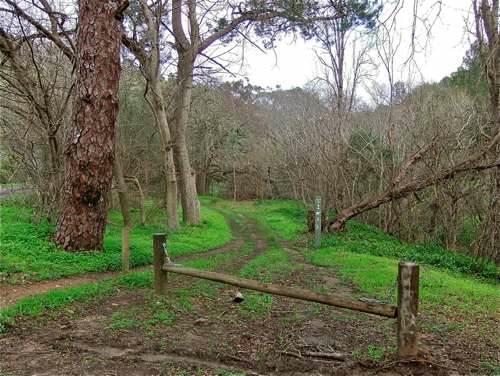
• 2 The tree on the left has very striking bark. Am I imagining it, or was it looking at me?
• 3 I wander down to the ford, rather more hazardous than usual, with water flowing over. I give my walking shoes their first real water test. They pass!
• 4 I had previously noticed that the trail on the other side of the creek continues upstream, and decide to explore it. Bad mistake! I soon get the feeling that the locals are not very welcoming to walkers.
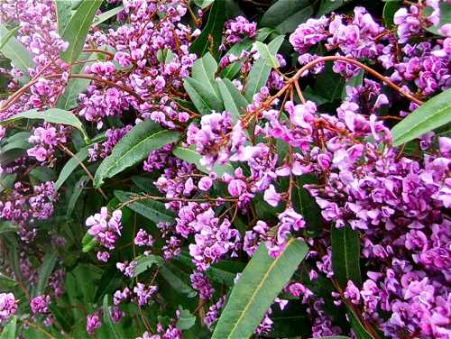
• 5 So I retrace my steps back across the ford to the road, and follow up the bitumen. Not my favourite sort of track, but there is very little traffic, and the road follows alongside the rapidly flowing stream. I found some 'happy wanderer' plant by the road doing well.
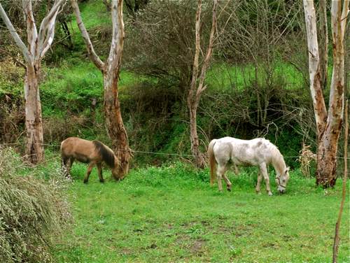
• 6 There are a few houses along the way, and I discover a couple of horses.
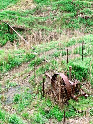
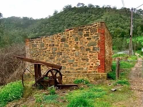
• 7 The Adelaide Hills are full of reminders of past eras, as with this ancient pump.
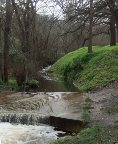
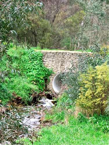
• 8 There appears to be a change of direction ahead with the river flowing through this culvert.
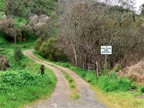
• 9 After a bit the road comes to a cul-de-sac with various gates, private property signs, and another relic from the past.
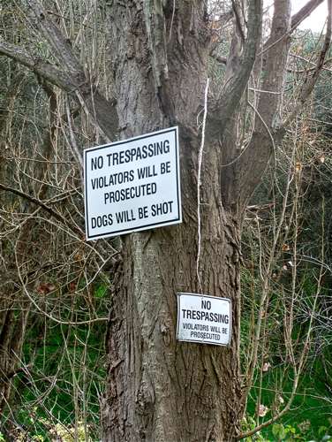
• 10 I am now a little perplexed. My maps show the Yurrebilla Trail following up this valley, but I seem to be at a dead end. This Private Road sign says no entry, but then again it has Mitcham Council on the sign, so perhaps it is only vehicle traffic which is prohibited? So I set off across the culvert. Bad mistake #2! A rather irate resident informs me in no uncertain terms that I am trespassing and couldn't I read the sign? and shepherds me off his property by following after me in his 4WD!
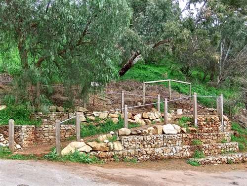
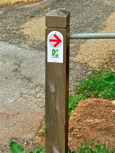
• 11 In fact this is where we are supposed to go, up this track on the other side. The half hidden sign actually reads 'Private Property', but my ‘guide’ tells me that this applies to the property beyond the track! How is a poor walker supposed to know?!
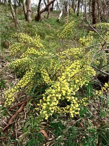
• 12 So this is the Pony Ridge Trail, and Aha! there was a Trail sign there all the time.
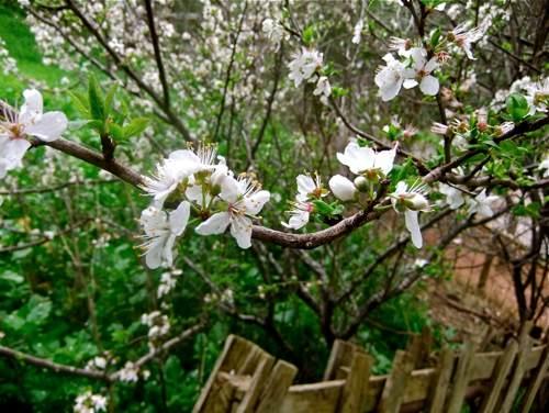
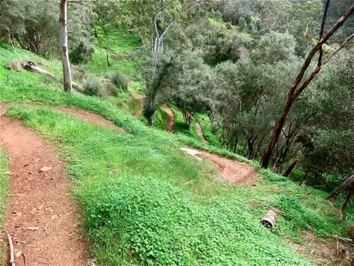
• 13 The trail is steep and narrow, and zigzags its way up out of the valley, past this lovely spring almond blossom (it is August). The maps indicate that there might be some sort of extension of Brownhill Creek Road out of the valley, but it never came this way!
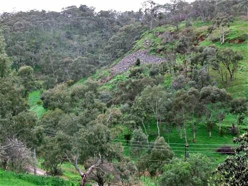
• 14 There is an occasional view back across the valley.
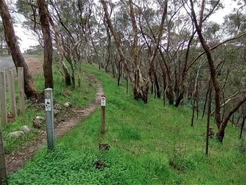
• 15 Finally the track comes out near the end of Pony Ridge Road. The sign posting is clearer here.
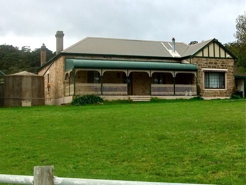
• 16 Here is one of the grand old homes along this walk. The old stone weathers well.
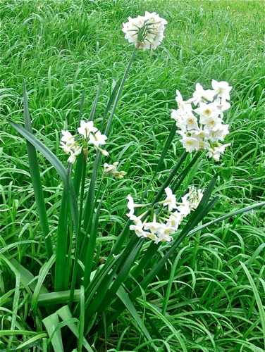
• 17 Spring is here!
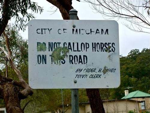
• 18 This sign on Pony Ridge Road appears not to have received the approval of the horses ...
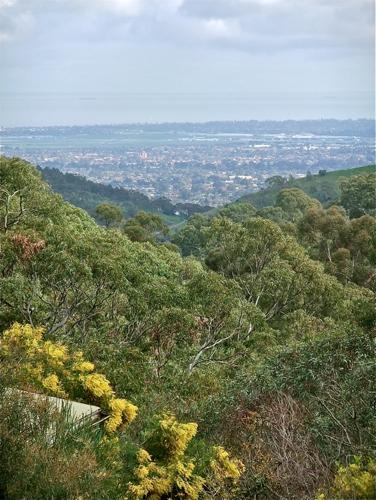
• 19 We reach the intersection of Pony Ridge and Sheoak Roads, and the boundary of Belair National Park. Here we turn and retrace our steps. There is a nice distant view of the Plains.
• 20 I have enjoyed the wattle blossom on these recent walks.
• 21 Back down the tortuous Pony Ridge Trail – a reminder of the Swiss Alps?!!
And so back to the car without incident. This is an interesting ‘link’ track between Brownhill Creek Reserve and Belair National Park. |
||||||