|
CLELAND : WATERFALL GULLY – SUMMIT |
||||||
|
SUMMIT
|
||||||
|
|
||||||
|
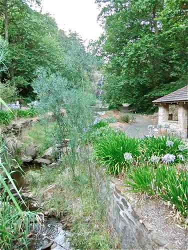
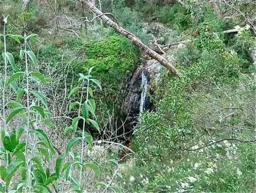
Waterfall Gully makes a pretty start to this walk, especially in the early morning.
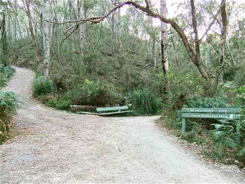
Just beyond the First Fall is a helpful sign. All the paths in this Park are well signposted.
After 400 metres easy walk, Second Falls makes a pretty sight too.
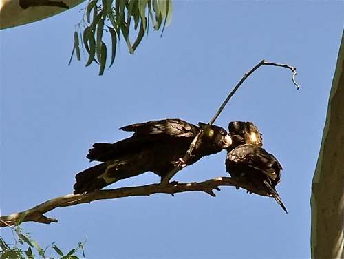
The track now gets quite steep, but there are some pleasant distractions: sulphur crested cockatoos ...
... and black cockatoos – all very noisy!
After 15 minutes climb we reach the ruins of Chinaman's Hut. A mystery here: no sign of any past Chinese occupation (say the archaeologists), but more probably European woodcutters around 1900.
Fifteen minutes easy walk beyond this ruin we come to a delightful place which is much more appealing than its name: Wilson's Bog. Rainwater and spring water collect in the cool valley here, providing a unique Hills habitat.
Swamp wattle flourishes along the floor of the valley.
Shortly beyond the bog the track divides and the long climb to the Summit begins.
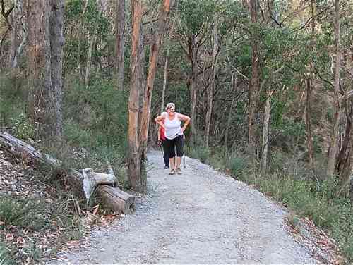
Even at this early hour, there are joggers and walkers ...
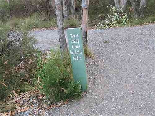
Whoever erected this sign had a sense of humour. The distance is right, but the forthcoming change in altitude and steepness of the climb are not funny!
We continue the climb more slowly, passing the old shepherd's hut (now a Youth Hostel), crossing the Mount Lofty Road, and finally reaching the Mount Lofty Summit. The Obelisk on the summit, known as Flinders Column, was erected in 1885 as a trig survey point. There is a coffee shop at the Summit which is useful to know if you arrive after 9 a.m.!
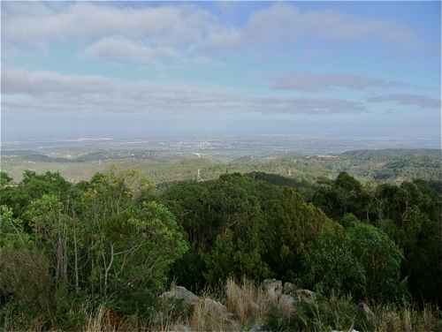
I found the view from the Summit of special interest. The little brown 'scar' in the centre (above the pylon) is the Mount Osmond Centre Track. The round hill just to the right is Sugar Loaf Hill, so Waterfall Gully comes up between the two.
It took me an hour and a half to reach the Summit. I understand the record is around 32 minutes!! |
||||||
|
SUMMIT
|
||||||
|
|
|
|||||