|
GANDY’S GULLY – GREENHILL
Circuit : 2 hours 30 minutes, 8 km |
||||
|
GREENHILL
|
||||
|
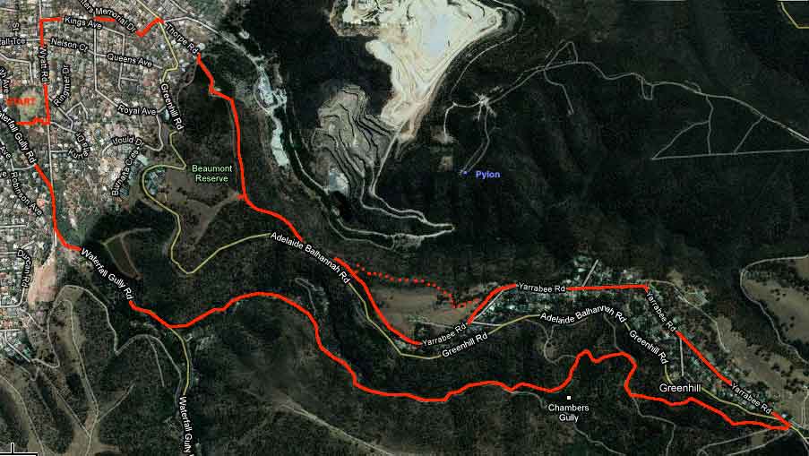
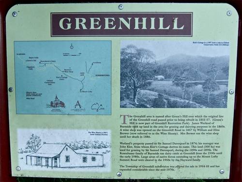
For the purpose of this website, it is convenient to take the Adelaide – Balhannah Road as the southern boundary of Gandy’s Gully. This then includes the settlement of Greenhill, and the Greenhill Recreational Reserve. Part of this walk extends beyond this.
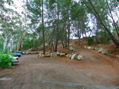
There is a nice car park here, making our starting point easy to find.
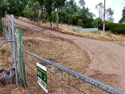
We walk up to Langman Reserve, across and up to Wyatt Road, north to turn right up Kings Ave, left along Royal Ave, and then right up Sitters Memorial Drive. It sounds complicated, but it took me 20 minutes to reach the main road. Crossing the road, there is a steep 5 minute walk up Thorpe Road which brings us to the entrance of the Greenhill Recreation Park (Beaumont Common).
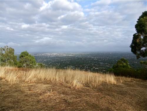
Taking the hill track to the left, after fifteen minutes steep climb we arrive at the summit with fine views over the plain.
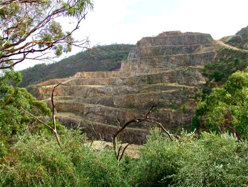
Just back of the hill is the Stonyfell Quarry, but there didn't seem to be any action the day I was there.
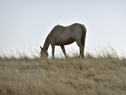
The track leads on down to upper Greenhill Road, and a little further on another track leads off to the left, following the road and above it. There is a choice here. We can take a left zig-zag and follow a steep walking track which comes out by a horse paddock ...
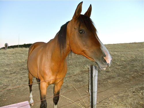
... with a very friendly horse.
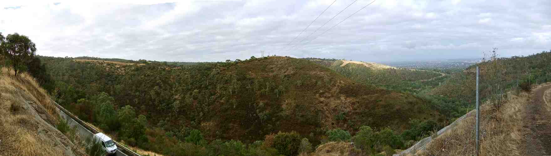
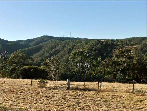
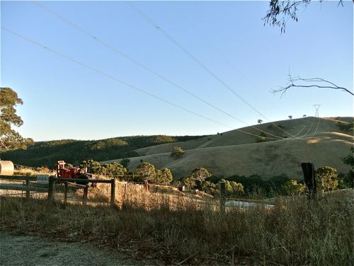
Or we can follow along the easier grades of the fire track and enjoy the now familiar Cleland views: from left, Long Ridge, Sugarloaf Hill, Mount Osmond Centre Track. This way we come out at the end of Yarrabee Road.
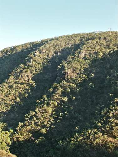
Either way we are now in the suburb of Greenhill. We can look across the valley to see the hazardous hillside below the bounding ridge separating us from Gandy’s Gully.
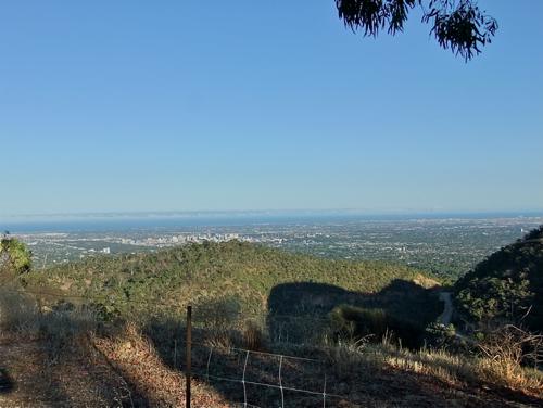
There are great views from Greenhill: across to the city ...
... to the Mount Lofty summit ...
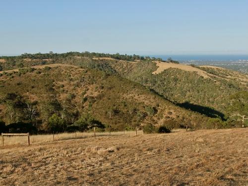
... and to the Mount Osmond track.
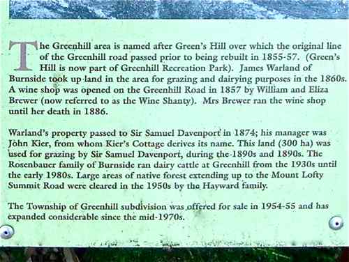
I can almost understand why people choose to live in Greenhill! The settlement has some history ...
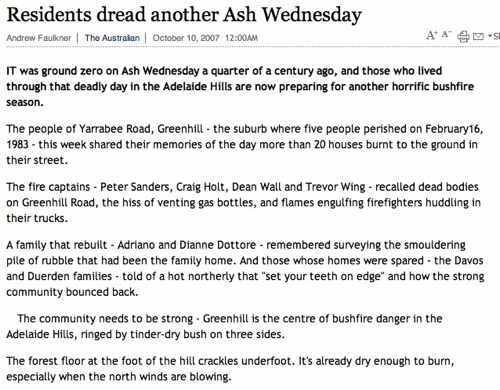
It suffered badly in the 1983 Ash Wednesday bush fires. At the top end of Greenhill we come out at the old Wine Shanty, with a view which looks different in the early morning light. It has taken me an hour and 25 minutes to get this far.
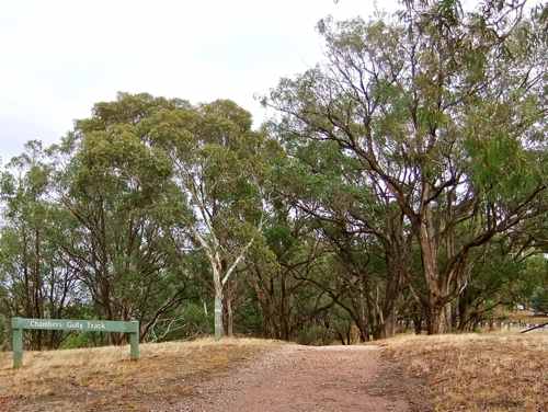
Directly across the main road is a Cleland entrance. We head down the Chambers Gully Track.
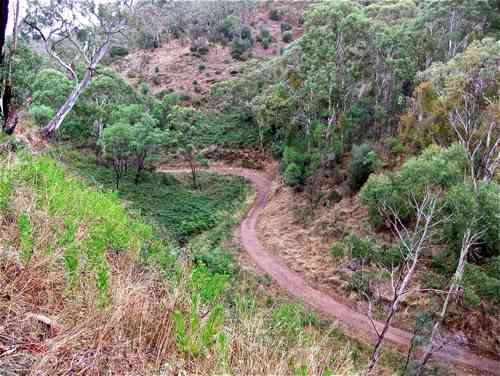
This is a steep decline, but it is lovely to be back in Cleland, especially if the bush is damp. We come out above the Bartril Spur Track ...
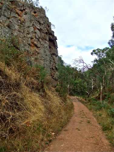
... and past an impressive cliff face.
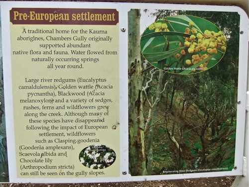
The track has interesting signs.
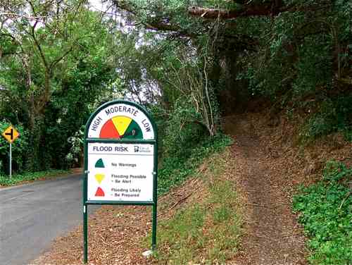
So back to the Waterfall Gully Road with a well made walking track which we follow down. Now here's a strange sign! I notice the arrow is padlocked in the 'low' position. Actually, there have been some very bad floods down this valley in the past.
Finally back to the car. |
||||
| WALKS > |
GREENHILL
|
|||
|
(The Gully was ) named after Edward Gandy (1829 -1902). – The Paddocks Beneath – Elizabeth Warburton Apparently Edward had a brother William, and a sister Maria who became Colonel William Light’s mistress. http://www.southaustralianhistory.com.au/collight.htm |