|
GANDY’S GULLY
|
||||
|
GANDYS GULLY >
|
||||
|
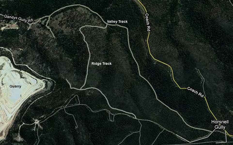
Detailed maps of Gandys Gully seem to be non-existent. Hence my sketch of the Valley and Ridge Tracks added to this Google map should be regarded with suspicion! They are probably fairly close.
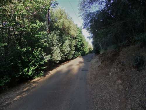
Park the car at the Wattle Park shops and walk south down Penfold Rd to the Wattle Park Reservoir. Opposite this is Gandy’s Gully Rd – a rather secluded little road with some houses, which runs in towards the hills.
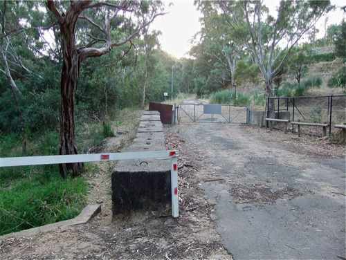
At the end of the road there is a barrier, and a ‘Private Property’ sign which prohibits motor cycles, but does not scare off fearless walkers. Proceed along the road past the barrier and up a small slope. A track to the right turns out to be a practice strip for trail bikes, and soon peters out. So continue left up the road and past the rifle range (watch for the red flag!)
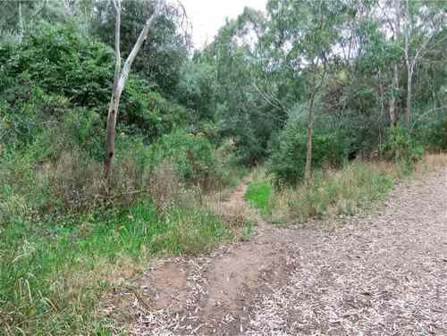
Close to the rifle range, an unsigned track branches off to the left, and in fact continues up the main valley.
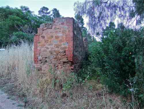
We will take this track, but it is worth continuing up the road a little to find an old brick ruin.
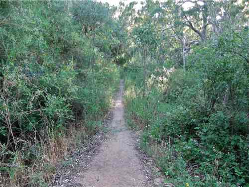
Did this belong to Gandy? And who was Gandy? The fire track only continues a little way beyond this. We soon discover that various maps showing the road continuing up the Gully were only ever a figment of someone’s imagination. Now return and proceed up the branch track – a well defined and obviously regularly used path.
|
||||
| WALKS > |
GANDYS GULLY >
|
|||

|
(The Gully was ) named after Edward Gandy (1829 -1902). – The Paddocks Beneath – Elizabeth Warburton Apparently Edward had a brother William, and a sister Maria who became Colonel William Light’s mistress. http://www.southaustralianhistory.com.au/collight.htm |