|
BLACK HILL : EAGLE, BOOBOOK TRAILS
Loop Time : 1 hour, 50 minutes, Distance : 5.5 kms |
||||
|
|
EAGLE–BOOBOOK |
|||
|
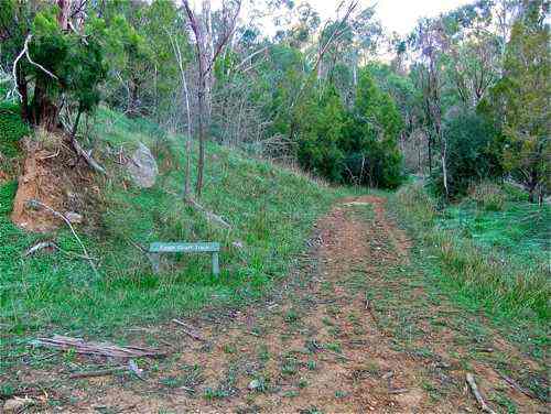
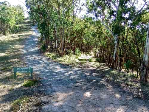
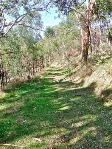
I start at the water tank entrance (Gate 17, as in the Ochard – Kestrel walk). Climbing the Orchard Track (not the Orchard Nature Trail), I soon come to a sign indicating Eagle Court Track which I follow up.
Soon, after a steep incline, this track continues straight on, and there is a branch track down to the right. There are no signs, but it is the branch track we want to follow today. The track straight on is the Kestrel Track. This area of the Park seems to be damper than the rest, and I find this unusual sight.
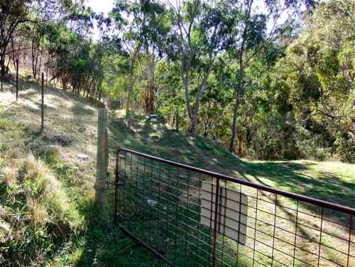
Eagle Track follows up the eastern boundary of the Park, and I soon come to a gate barring my way. I would really like to have followed down the fire track on the far side which I had seen on Google Maps, but having received a subliminal message (Sign: PRIVATE PROPERTY KEEP OUT, padlocked gate, barbed wire fence) I decide against this. A little detour to the left within the Park brings me to the other side of the far gate, and I am able to continue legally.
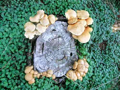
Here is another little find growing on the track.
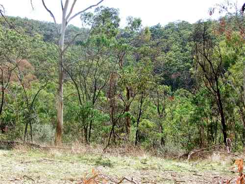
The Eagle Track is lovely, a steady but moderate climb up alongside a beautiful bush-clad valley.
Although there are so many gum trees, every now and then we come across one with its own artistic style!
Finally, the Eagle Track bends back on itself and meets up with the top of the Kestrel Track. I turn right here and follow up to join the Orchard Track, heading on upwards towards the Summit. Along the way we reach this sign, which is fine if we are actually heading for the summit, but what is the track to the right? In fact it is called the Peregrin Track. I take this, and head around the top of the beautiful valley to what is presumably Black Hill Road (Google name), where I head right and downhill. The noise of the Montacute Quarry assails my ears from the left.
A pylon comes in sight: this should be a helpful marker! Unfortunately, just before the pylon at the Park Boundary there is another padlocked gate saying TRESPASSERS WILL BE PROSECUTED. What an unfriendly lot they are around here!
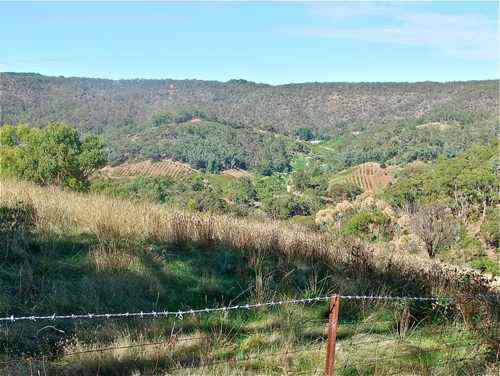
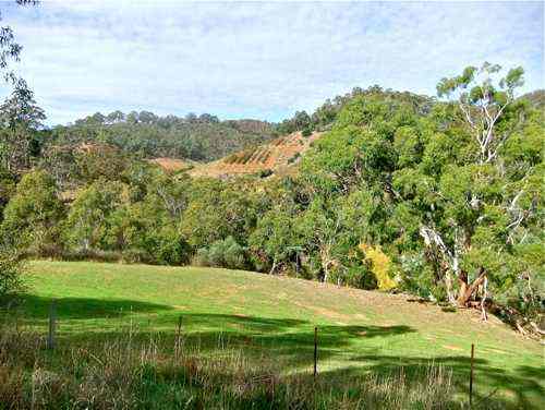
There is barbed wire too as a further discouragement, but a nice view across upper Montacute.
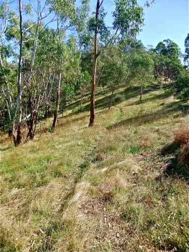
Well, what to do now? I guessed I wasn't the first walker to arrive at this impasse. Looking back I discover a miniscule walking trail heading back downhill from the road. There seem to be no better choices ... .
After a hundred metres or so, this trail meets a very steep, scrabbly, derelict fire track which runs straight down to the bottom of the valley. (Perhaps I might have spotted it running off Black Hill Road?) More decisions! Oh well, why not?
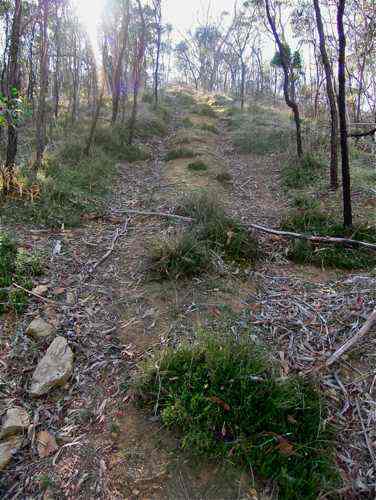
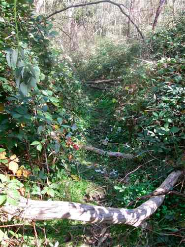
Surprisingly, the track turns into a pleasant walking trail at the bottom of the valley, running through a productive blackberry patch.
Climbing up the other side, I find that I am actually on Boobook Track. No sign of course: this is from trusty Google. I come out on a sharp bend of Eagle Track. Here is the valley we have just negotiated.
So back down Eagle Track, happier to be back on familiar ground.
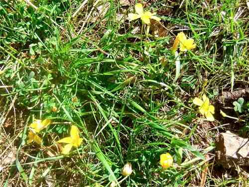
Right by the track, this mossy rock shows the damp nature of this rather forgotten section of the Park.  Down past the two gate obstacle to enjoy this rural view,
and so back to the car. A good walk, and a bit of an adventure! |
||||
|
|
|
EAGLE–BOOBOOK
|
||