|
BLACK HILL Ghost Tree Gully Trail – Ridge – Sugarloaves Track
Loop Time : 2 hours, Distance : 6 kms |
||||
|
GHOST GUMS
|
||||
|
|
||||
|
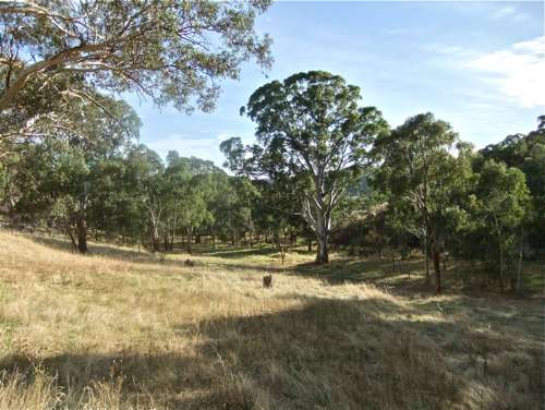
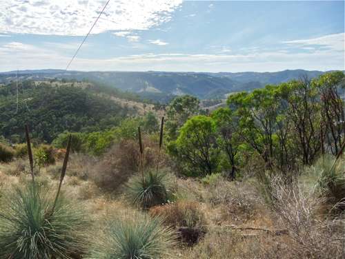
We start off by parking at the end of Everest Street, Athelstone – in fact locating this street was in itself quite a task! From the end of this road there is a lovely welcoming view of the Park in the morning sunshine. Black Hill is at centre.
The plan is to follow up the Ghost Tree Gully trail, and it is well signposted. There is pretty open bush country to start with.
The track up the valley is very pleasant, with a gentle gradient.
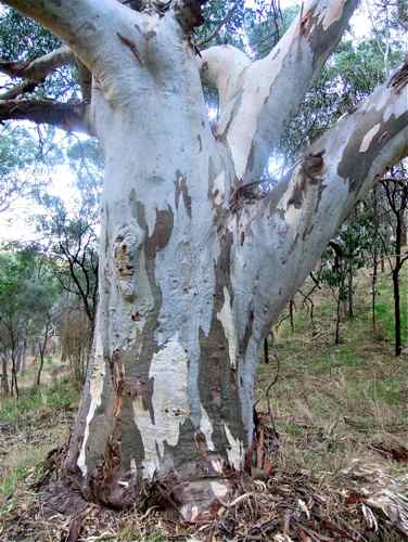
Presumably this species of eucalypt is Eucalyptus papuana called 'ghost gum', and there are plenty of these light coloured trunks to be seen. They might appear ghostly at night.
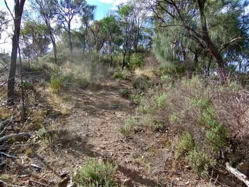
After a time we come to the Summit Link Trail which looks an attractive option, but we persevere up the main trail which unfortunately becomes very steep just here.
The trail bends around to the left and then branches: I take the right track up to the ridge. The gradient is gentler here, and there are a number of sheoaks growing. It is said that it is these trees which give the Park its name, but the foliage is not very dark just now (April).
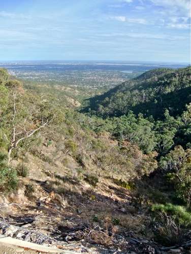
We can look down the valley here to obtain (yet another) view of the Plain and the Hope Valley Reservoir.
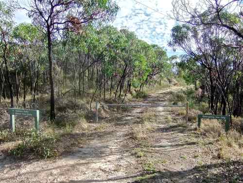
Just 55 minutes from the start I reach the Ridge. The track to the left which I wish to take is barred by a closed gate and a sign 'Emergency Use Only'. Unfortunately I couldn't quite make out the sign!
On the eastern side of the ridge is an enormous Quarry – the Montacute Quarry, in use, and obviously been in use for many, many years.
In a more northerly direction there are views of the beautiful blue ranges.
After a short time the Ridge Track takes a north-easterly dive down into a valley. Just here a narrow and unsigned walking track of doubtful repute winds off to the left and follows down a ridge. What the heck!
It turns out to be a good choice, and is apparently the walking trail indicated on the map. It descends to join onto the Sugarloaves (Fire) Track which I follow down. I'll leave the Sugarloaves Walking Trail for another time. Unfortunately I see no sign of any hill formation that could be called a sugarloaf. [I later discover that the path actually follows down over and around them.] Down, down, down ...
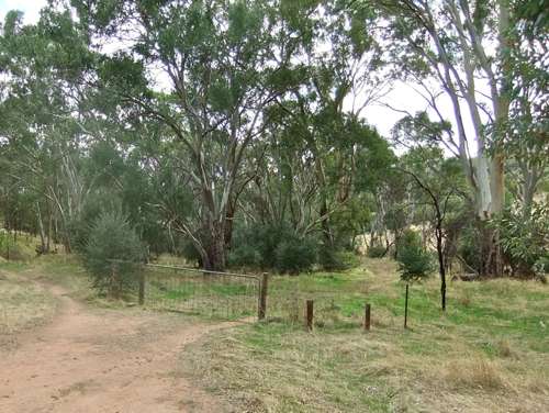
Then another surprise. The fire track ends in a dead-end turn-around cul-de-sac. My map doesn't show this! There is a scrabble track which descends down further (I don't have words to describe this!). It comes out at the top of another meadow, and I take the track to the left around the base of the hills (Tuck's Track). I was delighted to find a friendly kangaroo – I haven't found much wildlife in this Park). 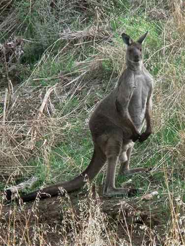 The track appears to cross private property: there are a couple of gates, but no warning signs, so I walk through, carefully closing the gates after me.
After about 20 minutes, Tuck’s Track rejoins the Ghost Gum Track, and five minutes later we are back at Everest Street. |
||||
|
GHOST GUMS
|
||||
|
|
|
AMBER’S GULLY
|
||