|
BLACK HILL : SUMMIT
Loop Time : 1 hour, 40 minutes, Distance : 4 kms |
||||
|
SUMMIT
|
||||
|
|
||||
|
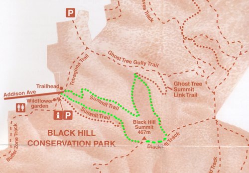
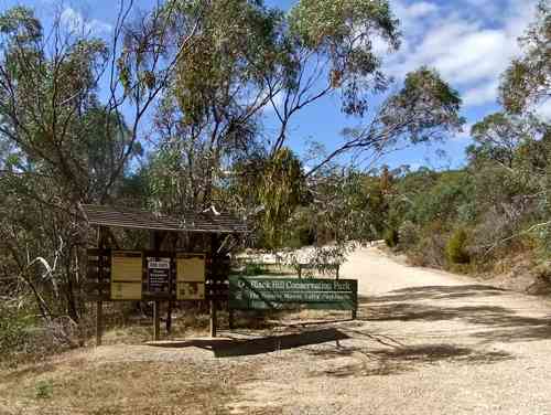
We drive to the car park at the top of Addison Ave, feeling grateful for the climb. The more height gained driving, the less arduous the walk. Well, it's a theory. There is a well-made Park entry at the top. We follow up the road inside the Park, and the Summit Walk continues straight ahead up a few rock steps
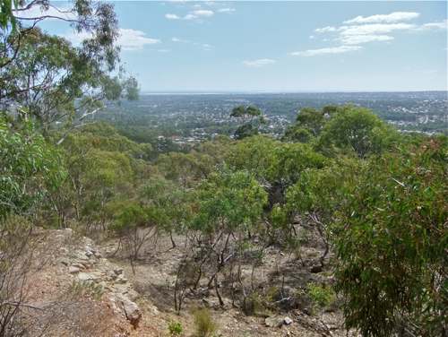
This walking track is very pleasant, a gradual climb with nice views.
Black Hill Conservation Park seems to be much gentler than Morialta, with rolling hills and pleasant valleys. Around here the bush cover is quite light.
After several sharp turns and one short steep stretch, we reach the link trail to Ghost Tree Gully Walk. We take the up track to the right, heading towards the summit.
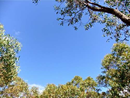
This path is quite a steep climb up the ridge. The light bush cover means that there are views out both sides.
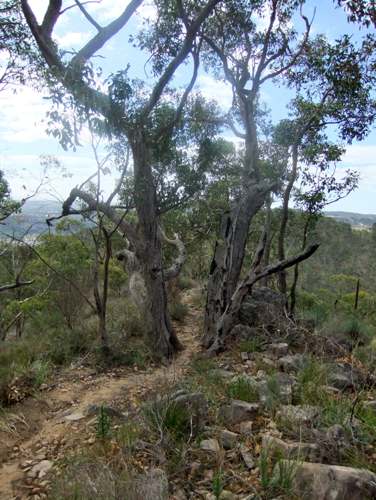
Now which came first, the tree or the track?
The climb brigs us to the Black Hill Track, and here we go right. Only five minutes to the Black Hill Summit. I'm not impressed: this is probably the best view!!
We now follow the westerly walking track. After ten minutes, the track branches. The route to the left descends a (rocky) valley. I followed this on the Quarry Track walk. However, there is another track straight ahead, climbing to a nearby knoll on the ridge. Perhaps it leads to a good lookout? Another mystery is that on the Google map there is a road called Mavis Road shown following down the ridge. I love mysteries! Well, I don't know who Mavis was, but she knew nothing about roads. This trail is a cross between a goat track and a scree slope! Despite this, I found it easier than the rocky valley trail.
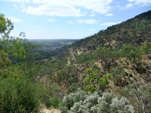
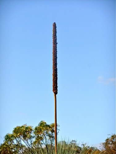
There are constant vistas out over the plain, and the occasional sentinel. Reach for the sky!
The track emerges at the end of a small (CFS?) car park near the exit of the valley trail. One could be excused for not even seeing it.  An exhilarating walk. |
||||
|
SUMMIT
|
||||
|
|
|
|||