|
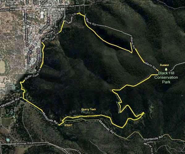
BLACK HILL : QUARRY TRACK
Loop : 2 hours, 6 kms |
||||
|
QUARRY TRACK
|
||||
|
|
||||
|
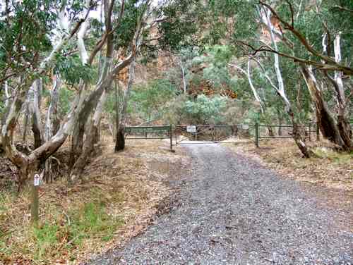
We begin by walking up the Quarry Track. There is no friendly walking sign outside – just signs like 'Service road', and an encouraging warning about falling rocks, although inside the gate there is a colourful Yurrebilla Trail sign.
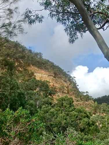
Actually the Quarry Trail is very pleasant. It climbs steadily close to craggy rock walls ...
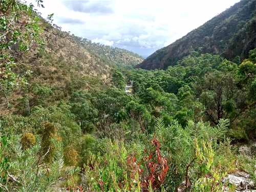
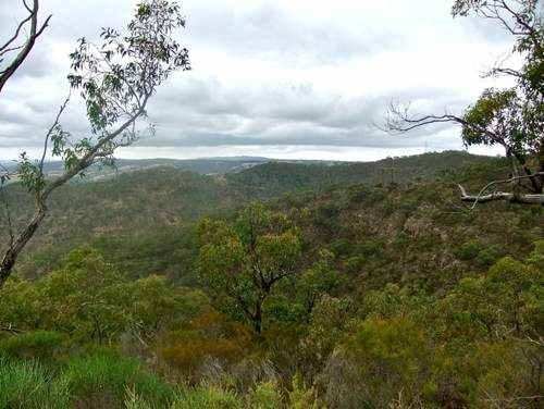
... with views down the Montacute Valley ...
... and across the valley to Morialta Park. Here we see the Fox Creek Dam track emerging.
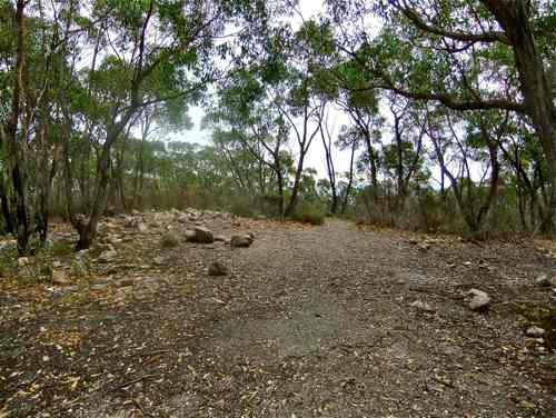
I was pleased to find some flowering colour with this Erica. The track doubles back on itself, climbs steeply for a section, and then there is a gradual incline to the Black Hill Summit (467 metres). What a let down! No views, no trig station, no sign – not even a rock cairn, although perhaps there are some remains. Obviously the joy is in the journey, not the destination.
On the westerly side a narrow walking track continues. I was interested in the variety of plants and shrubs.
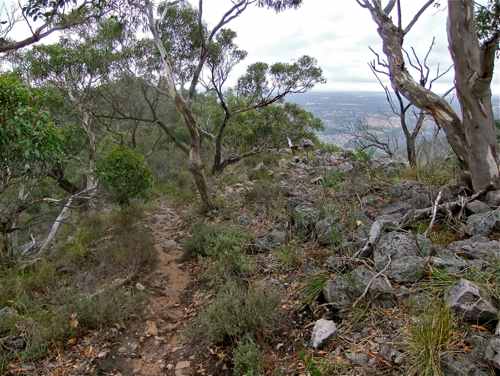
Now I just love it when this happens. The track breaks out from its bush surrounds, and the Park stretches away to the north.
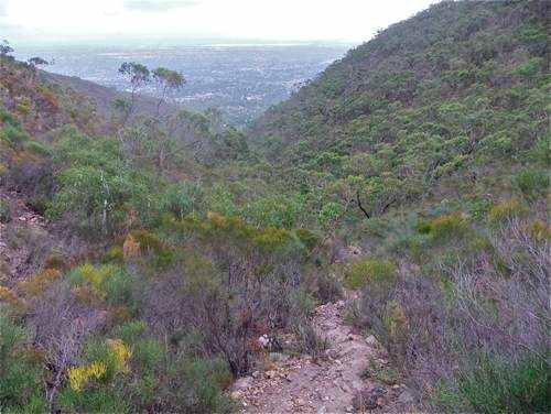
We continue along this ridge, after which the track divides and we turn left down into the southern valley.
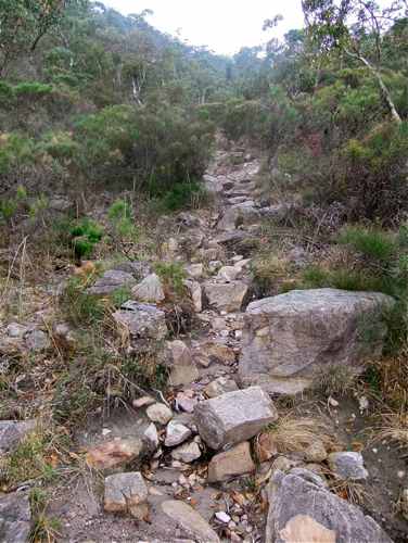
This valley is attractive, but the track gets a bit rough.
'A bit rough'? An understatement! This 'path' would become a raging torrent in the wet.
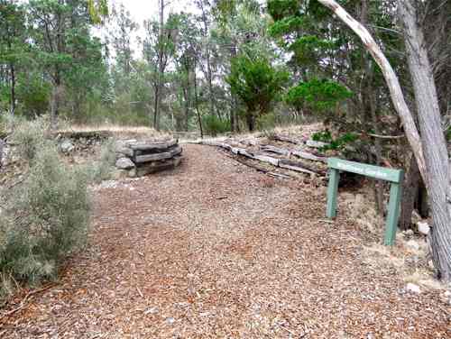
The path finally emerges from the creek bed, running into a fork of a fire track. There are no signs. I take the left branch, in fact the Buffer Zone Trail, turning south back to Montacute Road. Along the way I pass the Athelstone Wildflower Garden – probably worth a visit in the spring.
A little further along I come to where my 'path' flows out!
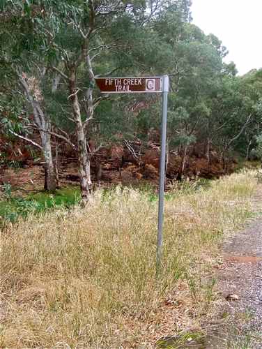
The Buffer Zone Trail meanders along within the Park, but runs close to the border, with houses to the west. It emerges onto a short sealed road, and then onto Montacute Road, again with no sign. Obviously the Tradesmen's entrance.
Up Montacute Road and just east of this road is this sign. I guess this is the 'proper' entrance, but I found it hard to see where the Trail even went.
So 10 minutes back to the car. Quite a good walk. Because of the difficult creek bed stretch it might be easier to do this walk in the opposite direction, but the chances of getting lost near the beginning are great! |
||||
|
QUARRY TRACK
|
||||
|
|
|
|||